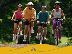
Mountain biking
BTT ( the Spanish abreviation for mountain biking) is extremely popular in the region in general and most partucularly in the Àger valley.
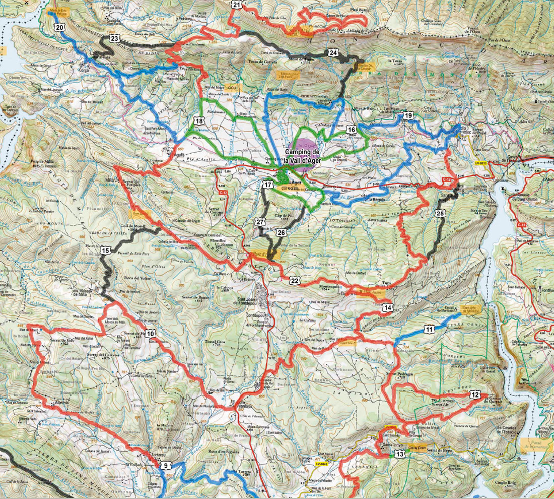
Under the direction of Noguera regional council, the local councils of Àger, Avellanes and Os de Balaguer, have begun working together to start creating the "Montsec Montain Bike centre" (Centre BTT de Montsec).
The centre has meeting points at the campsite in Vall Àger and another at the monastery of Santa Maria de les Avellenes, where you can find information and services for all mountain bike enthusiasts.
The routes cover all types of terrain and there are more than 400 km of circuits signposted for every level.
See below for the 10 marked routes within the Àger valley. Click on each image for a larger downloadable route plan.
Montsec Mountain Bike Centre - Local routes.
Circuits start off of in all directions directly from your doorstep at the centre at Camping de la Vall d'Àger and link up with the wider programe of trails allowing you to cover the whole area encompassed by the two lakes to the west and east of
Àger. the Montsec ridge and south towards Balaquer.
The following table represents
signposted trails wilthin Àger valley.
| Circuits | Circuit de Carcheu (easy - green) | 7,15 Km |
|---|---|---|
| Circuit d'Àger (easy - green) | 6,11 Km |
|
| Circuit de Macierol (easy - green) | 9,51 Km |
|
| Circuit de l'Ametlla (medium - blue) | 26,26 Km |
|
| Circuit de la Pertusa (medium - blue) | 24,71 Km |
|
| Circuit de Montsec (difficult - red) | 38,62 Km |
|
| Circuit de Torres de Cas (difficult - red) | 32,92 Km |
|
Descents
|
Descens del Tallafocs 1 | 2,85 Km |
| Descens del Tallafocs 2 | 2,00 Km |
|
| Descens de St. Just | 4,15 Km |
|
| Descens de Corçà | 4,46 Km |
|
| Descens de Colobó | 7,71 Km |
|
| Total | 166,45 Km |
|